Regional stress field and strain rate field in the Pannonian region: recent datasets and maps
Abstract
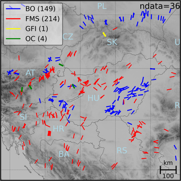
The interpretation of active deformation processes in the Pannonian region remains a challenge. Its refinement and quantification is a key for seismic hazard assessment and for the geodynamic understanding of the region. This study summarizes recent (crustal) stress and GNSS-based strain rate results and their implications for active deformation processes. In addition to the in-text figures, the results are presented in two map supplements with individual digital identifiers at a scale of 1:1500. 000. The stress and strain rate results show that the active tectonics in the Pannonian Basin is determined by the transpressional stress field and associated shortening and transpressional deformation. The direction and ratio of principal stress axes show good agreement with those of the principal strain rate axes in most of the study area, suggesting that the upper crustal stress field and surface deformation are closely linked. Besides the northward motion of the Adria Microplate, we identify the slower but consistent SW-directed motion of the Eastern and Southern Carpathian areas as an important boundary condition for the stress field and deformation of the Pannonian region. The results largely agree with but also complement and refine previous stress and ground motion datasets and may be used as input parameters or references for geodynamic and structural models and analyses, seismotectonic models, earthquake hazard assessments, and geo-energy projects.


